
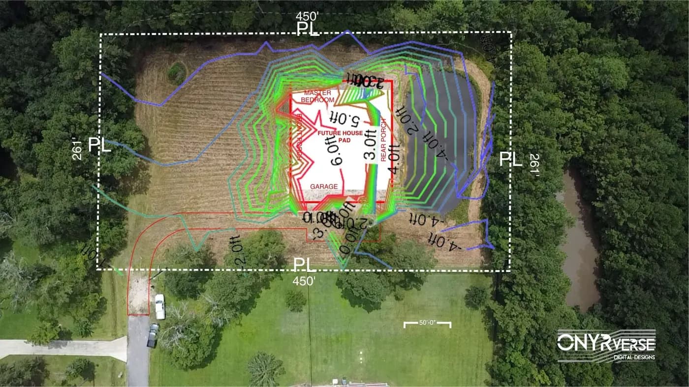
Drone Data Procurement
Drone Aerial Mapping and Construction Progress Monitoring
If you're going to do it, do it with ONYR.
ONYRverse, located in Beaumont, Texas, provides drone data procurement for construction projects, integrating drone technology into design and project management. Our aerial mapping, construction progress monitoring, and as-built visual documentation give owners, contractors, engineers, and developers site-specific information that helps them make informed decisions, minimize delays, and keep projects on track.
What makes our drone work different is where the data goes. We are a design-build studio that lives in the plans, so aerial imagery does not end up in a folder nobody opens. It feeds site planning, 3D models, design reviews, and project updates. Every data set becomes a portal for alignment, so your team, your builder, and your stakeholders always have the latest view of the site.
Licensed engineering partners
ONYRverse prepares the drawings and coordination. The engineering is reviewed and stamped by licensed partner firms:
- Civil
- Aaron & Franklin, Fitz & Shipman
Aerial Mapping for Site Analysis and Planning
Good design starts with understanding the site. A drone flight captures the whole property at once: existing structures, trees, drainage patterns, access points, neighboring buildings, and the relationship between them. For raw land, it shows what a quick walk-around misses. For infill lots and additions, it shows how tight the fit really is.
We use that imagery to inform early layout decisions, building placement, and scope. Pre-design site capture reduces the assumptions baked into a concept and helps avoid surprises later in design.
- Aerial mapping for site analysis and planning
- UAV data acquisition and aerial imagery collection
- Pre-design site capture to inform design and scope
- Existing condition visuals for additions and renovations
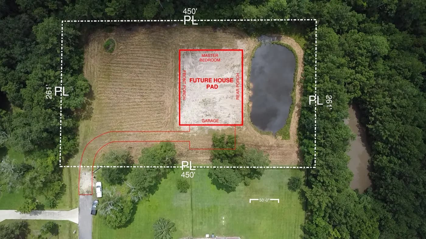
Construction Progress Monitoring
Once construction starts, owners and lenders want to know what is actually happening on site. Scheduled drone flights produce a visual timeline of the project, captured from consistent angles so progress is easy to compare from one visit to the next. Remote stakeholders can see the job without driving to it.
Progress imagery also supports the design side. When the build is compared against the plans, questions surface earlier, and conflicts between what is drawn and what is built can be addressed before they are covered up.
- Recurring flights with a consistent capture plan
- Visual timelines and progress updates for owners and lenders
- Side-by-side comparison of site conditions against the plans
- Shared imagery for remote stakeholders and design teams
As-Built Visual Documentation
At key milestones and at completion, aerial imagery creates a record of what was built and where. That record is useful for owner files, future renovations, facility planning, and conversations with insurers or lenders. Underground utilities photographed before backfill, slab layouts before framing, and roof conditions at completion are all hard to see again once the moment passes.
We organize that imagery by date and milestone so it is easy to find later, and we can reference it in updated drawings when changes happen in the field.
What Drone Data Is and Is Not
Drone imagery is a powerful planning and communication tool, but it is not a substitute for a licensed land survey. ONYRverse does not provide certified surveys, boundary determinations, or legal descriptions, and our aerial maps do not replace the work of a Registered Professional Land Surveyor. When your project, lender, or permitting office requires a survey, you will still need one, and we will coordinate our design work with it.
Our flights are flown under FAA Part 107 rules and planned around site conditions, weather, and any airspace considerations. Coastal wind and summer storms in Southeast Texas can affect flight days, so we schedule with some flexibility.
Where Aerial Data Fits Your Project
Drone work pays off on many kinds of projects. Barndominiums and shop houses on larger rural tracts benefit from seeing the whole property at once. Commercial new construction, like retail and coffee shops, benefits from site context and progress updates for owners and lenders. Church and school additions benefit from existing condition capture before design starts. Industrial and municipal projects benefit from recurring monitoring across large sites.
Because ONYRverse also handles 3D modeling, Revit BIM, and project management, aerial data becomes part of one coordinated workflow instead of a separate deliverable you have to figure out what to do with.

Drone Mapping in Action
Measuring a 1.1 acre property with motion-based technology and turning the data into site information for design.
A real-world test of motion-based site measurement on a 1.2 acre property, from field capture to usable data.
How Drone Mapping Works at ONYRverse
- 01
Goals and Capture Plan
We define what the imagery needs to answer, whether site planning, progress tracking, or as-built records, and plan flight areas, angles, and frequency.
- 02
Site and Airspace Review
We review site access, obstacles, and airspace, confirm permissions with the owner, and schedule flights around weather conditions.
- 03
Flight and Capture
We fly the site under FAA Part 107 rules and capture consistent imagery so results can be compared across visits.
- 04
Processing and Integration
We organize and process the data, then bring it into site plans, 3D models, design reviews, and project updates where it helps decisions.
- 05
Delivery and Archive
You receive dated, organized image sets and maps, and the data stays tied to your project documentation for future reference.
Drone Mapping FAQs
Can drone mapping replace a land survey?
No. Our aerial mapping is a planning, design, and communication tool. It is not a certified survey and does not establish property boundaries, easements, or legal descriptions. If your lender, title company, or permitting office requires a survey, you need a Registered Professional Land Surveyor. We coordinate our design work with their survey when one is part of the project.
How often should progress flights happen during construction?
It depends on the project's pace and who is watching it. Some owners want monthly updates for lenders, while fast-moving commercial projects may benefit from more frequent flights around key milestones like foundation, framing, and dry-in. We build a capture schedule around your milestones and reporting needs rather than a one-size plan.
What happens if the weather is bad on flight day?
Drone flights depend on wind, rain, and visibility, and Southeast Texas weather can change quickly, especially during summer storm and hurricane season. If conditions are not safe or would compromise image quality, we reschedule. Building some flexibility into the capture plan keeps progress documentation consistent without forcing a flight in poor conditions.
Do I have to be a design client to use your drone services?
No, though the data is most valuable when it connects to design and project management. Owners and builders can use aerial capture for site planning or progress monitoring on its own. When ONYRverse is also handling the design, documentation, or the build itself, we fold the imagery directly into models and plan reviews, which is where it saves the most time.
Can aerial imagery help with a renovation or addition?
Yes. Additions and renovations depend on understanding what is already there. Aerial imagery shows roof shapes, existing structures, drainage, trees, and how the building sits on the lot. That context helps us plan the addition, spot conflicts early, and give your design team and engineers a clearer picture before detailed design begins.
Drone Mapping Across Southeast Texas
- Beaumont, TX
- Port Arthur, TX
- Nederland, TX
- Groves, TX
- Port Neches, TX
- Orange, TX
- Vidor, TX
- Bridge City, TX
- Lumberton, TX
- Silsbee, TX
- Sour Lake, TX
- Winnie, TX
- Mauriceville, TX
- Kountze, TX
- Bevil Oaks, TX
- Fannett, TX
- China, TX
- Evadale, TX
- Nome, TX
- Pinehurst, TX
- West Orange, TX
- Buna, TX
- Deweyville, TX
- Ames, TX
- Hardin, TX
- Anahuac, TX
- Liberty, TX
- Kirbyville, TX
- Dayton, TX
- Woodville, TX
- Newton, TX
- Jasper, TX
- Rose City, TX
- Pine Forest, TX
- Central Gardens, TX
- Pinewood Estates, TX
- Taylor Landing, TX
- Hamshire, TX
- Little Cypress, TX
- Forest Heights, TX
- Stowell, TX
- Devers, TX
- Daisetta, TX
- Hull, TX
- Wildwood, TX
- Warren, TX
- Kenefick, TX
- Oak Island, TX
- Old River-Winfree, TX
- Ivanhoe, TX
- Cove, TX
- Mont Belvieu, TX
- Big Thicket Lake Estates, TX
- Bolivar Peninsula, TX
- Beach City, TX
- Starks, LA
- Vinton, LA
- Hackberry, LA
- Carlyss, LA
- Sulphur, LA
- DeQuincy, LA
Related services
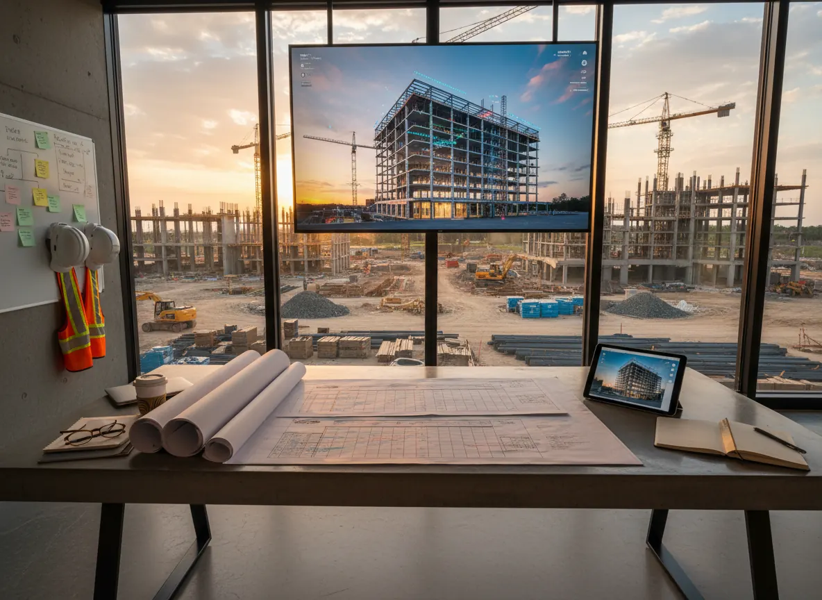
Project Management
ONYRverse manages industrial, commercial, and municipal projects from the first design decision to the finished build, with design-only or design-build delivery.
Learn more →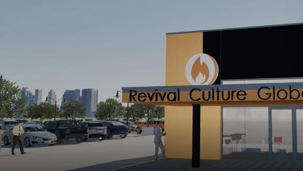
3D Modeling
Advanced 3D modeling and architectural visualization in Beaumont, TX that lets owners, lenders, and builders see and approve a project before construction begins.
Learn more →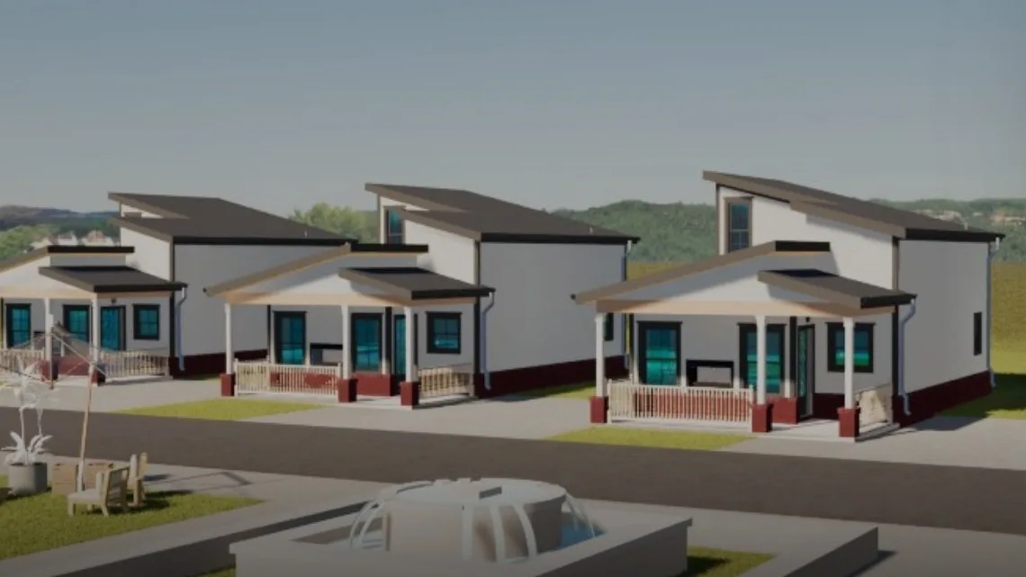
Architectural Design
Architectural design services in Beaumont, TX that turn residential, commercial, barndominium, tiny home, and renovation concepts into buildable plans, design only or design and build.
Learn more →
Book a Site Flight Consultation
Tell us about your site and what you need to see, and we will plan a capture that supports your design and your schedule. If you're going to do it, do it with ONYR.
Ready to move your project forward?
Tell us about your project in the Design Brief intake form, or call to talk it through. If you're going to do it, do it with ONYR.