
Liberty County, Texas
Farmstead and Small-Town Building Plans for Devers, TX
If you're going to do it, do it with ONYR.
Devers is one of the older names on the Liberty County map. Settlers knew the spot as Carter Station, then as Dever's Woods after Thomas Philip and John Dever, and the post office shortened it to Devers in 1892. By the 1870s it was a stop on the Texas and New Orleans Railroad, and in the twentieth century irrigation canals turned the surrounding prairie into rice country. The canal system that served it, the Devers Canal Company, passed to the Trinity River Authority in 1969. The town itself is small, incorporated, and sits at the crossing of U.S. Highway 90 and State Highway 61.
What gets built around Devers reflects that farming base: family homes on acreage, equipment barns and shops, grain-era outbuildings that need new life, and the occasional storefront or church project in town. ONYRverse Digital Designs is a Beaumont studio about 28 miles east along the same corridor. We do the design and drafting in the studio and schedule trips out to Devers for site walks, measurements, and drone flights over larger tracts.
Rice Country Ground: Canals, Levees, and Low Fields
Farmland shaped for rice is intentionally flat and built to hold water. That is ideal for a crop and tricky for a house. Old field levees, lateral canals, and drainage ditches can cross a tract that looks empty from the highway, and they affect where a slab can go, how a driveway crosses to the road, and where rainwater ends up after a heavy storm.
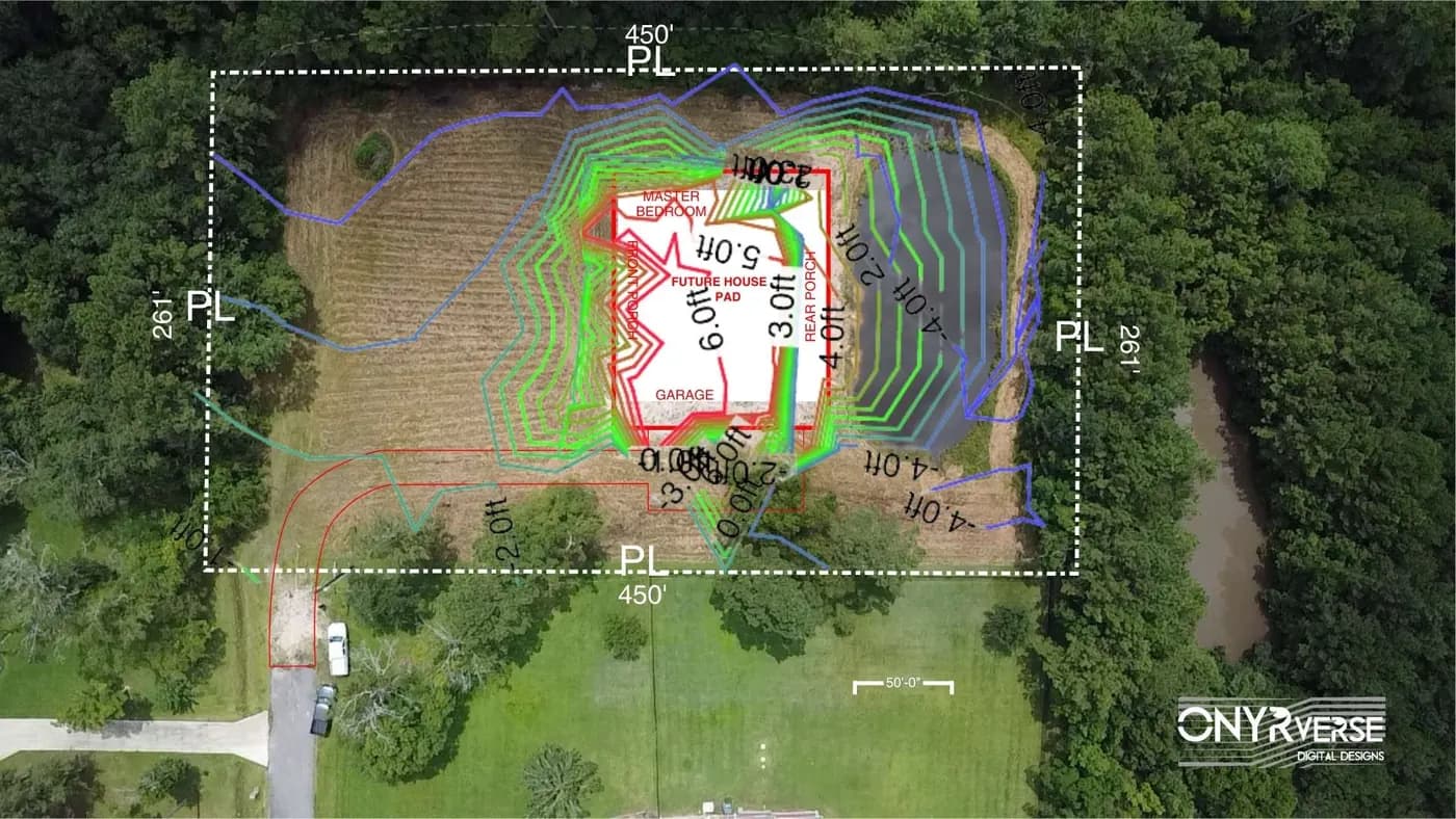
We start Devers projects with a clear picture of the ground. A drone flight gives us a current aerial map; where the site needs it, elevation readings show the subtle high spots worth building on. With that base, our civil and site drafting lays out the pad, driveway, culverts, septic area, and drainage direction on one sheet so the county, your builder, and any site preparation contractor all read the same plan.
Equipment Barns, Farmhouses, and Buildings Worth Saving
A working property rarely needs just a house. It needs a barn tall enough for a combine or a hay trailer, a shop with a real slab, a covered wash bay, and sometimes a small office. We plan those buildings together so they do not crowd each other or block the best house site, and so power and water are sized for the whole place rather than one structure at a time.
Older rural buildings around Devers are often worth keeping. Before redesigning one, we measure it, draw accurate as-builts, and coordinate a licensed structural engineer to evaluate what the frame can carry. That is how an old barn becomes a usable shop without guesswork.
- Farmhouses and family homes on acreage
- Equipment barns, hay barns, and metal shops
- Renovation of older outbuildings with as-built drawings
- Small storefront and church projects along U.S. 90
Plans Sized for a Small Incorporated Town
Devers is a real city with its own government, but it is a small one, and small towns often lean on county and state resources for review. The practical question is always which office approves your specific parcel. We check whether the lot is inside city limits or out in unincorporated Liberty County, confirm what that office wants to see, and prepare a complete set: site plan, floor plans, elevations, sections, and structural and MEP information from the engineers we coordinate.
Liberty County is not in the TWIA catastrophe area, so WPI-8 certification is not usually part of a Devers project. Hurricanes still reach this far inland, and we draft a continuous load path from roof to foundation anyway. We never promise a build number before design. Once the drawings are done, a builder you choose can price them, or ONYRverse can hold the build contract, with TRP Land Clearing & Excavation building the pad as our site work sub.
Services for Devers Projects
Architectural Design in Devers, TX
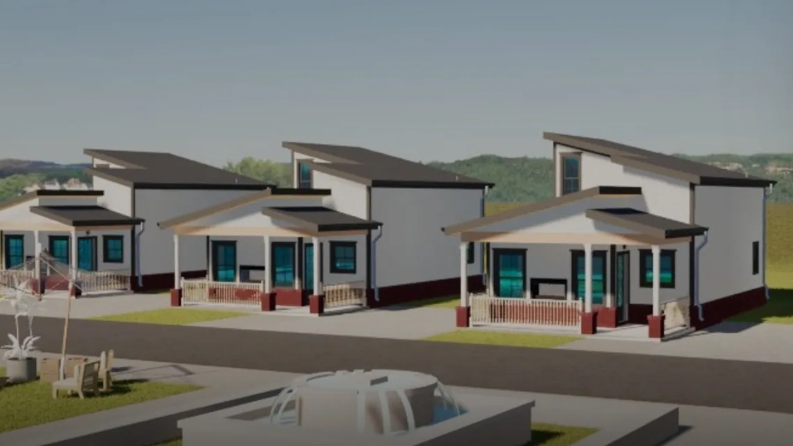
Architectural design services in Beaumont, TX that turn residential, commercial, barndominium, tiny home, and renovation concepts into buildable plans, design only or design and build.
Learn more →Civil Drafting in Devers, TX
Civil and site drafting from Beaumont, TX: site plans, grading, drainage, utility, and parking layouts prepared by ONYRverse, with civil design and seals provided by licensed partner engineers.
Learn more →Drone Mapping in Devers, TX
ONYRverse captures drone aerial imagery and site data for planning, design, and construction progress monitoring, and ties it directly into your project documentation.
Learn more →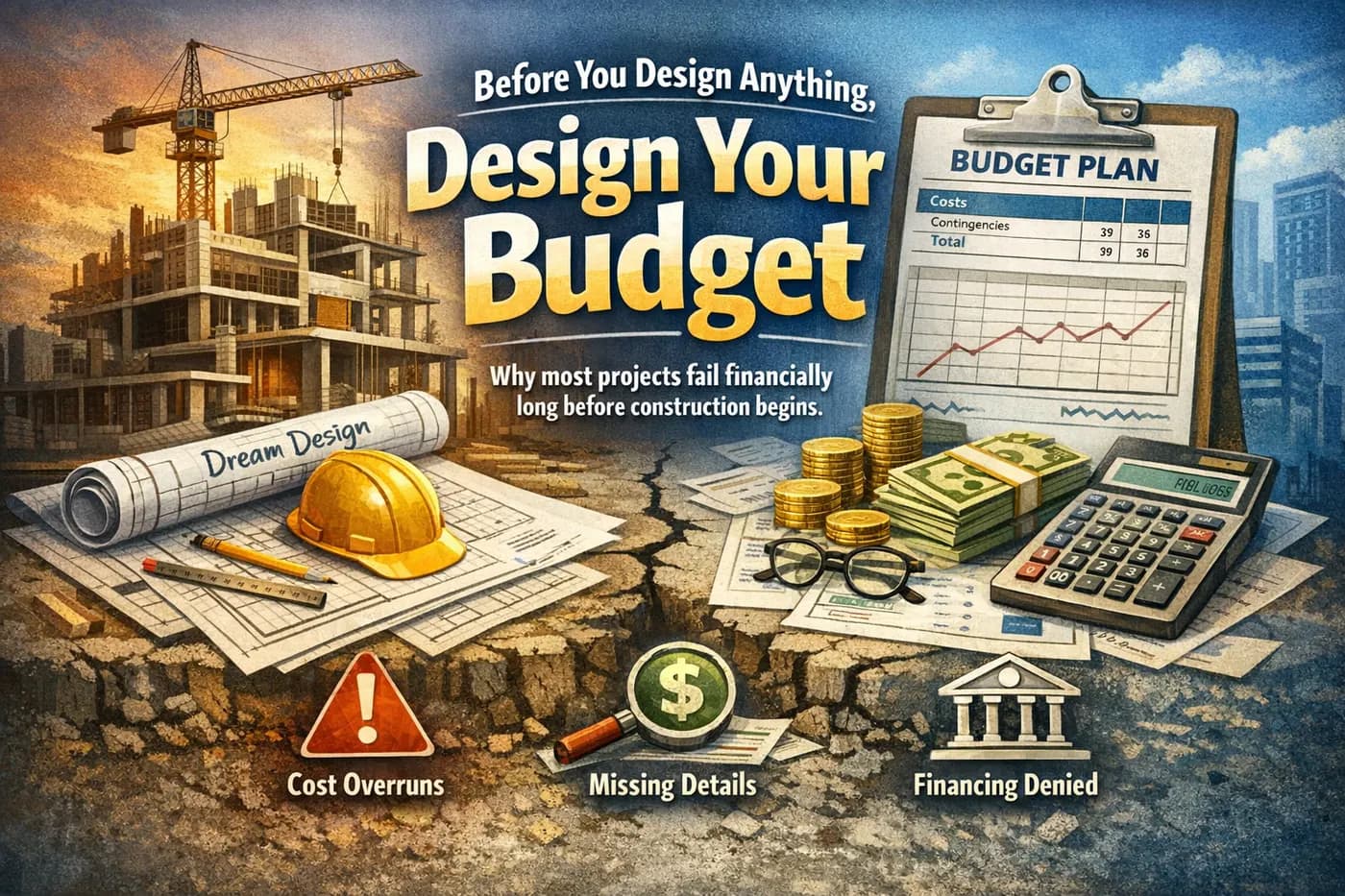
Feasibility Planning in Devers, TX
Feasibility and design planning in Beaumont, TX: site discovery, code and jurisdiction research, and a budget-guided concept that shows whether a project works before you pay for full design.
Learn more →
Devers Project FAQs
Can you plan a house on former rice land near Devers?
Yes. Former rice fields are flat and often drain slowly, so we look at the flood map, existing levees and ditches, and the natural high ground before choosing a building pad. Our site drafting then shows finished floor height, driveway culvert, and drainage direction so the county reviewer and your builder see the same plan.
My Devers lot straddles fields and town. Which office reviews the drawings?
It depends on the parcel. Inside Devers city limits, the city has authority, while property outside the limits falls under Liberty County, which requires a permit before developing any land and enforces its flood prevention ordinance. We confirm jurisdiction for your address first, then prepare drawings formatted for that office.
Can an old barn on my Devers property be turned into a shop?
Often it can. We measure the barn, draw it as it stands, and coordinate a licensed structural engineer to evaluate the frame and foundation. With that information we design the new use, whether that means a new slab, bigger doors, insulation, or power, and document exactly what changes.
Why use drone mapping on a Devers acreage project?
Larger tracts are hard to understand from the road or an old survey. A drone flight gives a current aerial image of fence lines, canals, ponds, and tree cover that we lay the site plan over. It lets us test locations for the house, barn, and driveway before any money goes into detailed floor plans.
Is Devers too far from Beaumont for you to take the project?
No. Devers is roughly 28 miles west of our Beaumont studio along U.S. 90. Design reviews happen through shared drawings and 3D models online, and we schedule dedicated trips for site walks, measurements, and drone capture. We do not have a Devers office and do not claim past projects there.
Nearby service areas
Planning a project in Devers?
Send us the basics and we will come back with next steps. Surveys, sketches and photos of the site all help.
Ready to move your project forward?
Tell us about your project in the Design Brief intake form, or call to talk it through. If you're going to do it, do it with ONYR.