
AR on iPhone + Web Browser
Augmented Reality Walkthroughs of Your Plans
If you're going to do it, do it with ONYR.
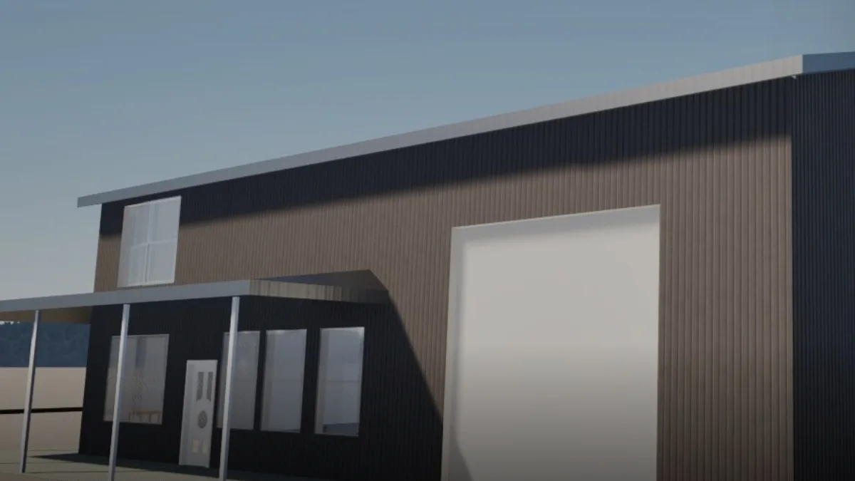
Picture standing on your empty lot in Southeast Texas, holding up your phone, and watching your future building appear exactly where it will sit. You walk up to the front door, step inside, turn toward the kitchen, and look out the window you approved on paper last week. That is what an augmented reality walkthrough from ONYRverse does. Blueprints are portals, and AR is the most direct way to step through one.
We build every model in Revit, then convert it into an iPhone-native USDZ file that opens without special software. Place the object and walk through it. It works for all of our models, from a single tiny home to whole scenes such as a multi-building property development, and the same experience is also viewable in a web browser for anyone who is not on an iPhone. If you're going to do it, do it with ONYR.
AR Model
Walk through Cabin Studio at full size
This is one of our plans exported straight from Revit as an augmented-reality model. Place it in your yard, walk inside, and see the design before anything is built.
Scan with your iPhone camera to open the model in AR.
What Augmented Reality Adds That a Screen Cannot
A rendering shows you a picture. A 3D model on a monitor lets you orbit around a building. Augmented reality goes one step further by placing the design into the real world at real scale, anchored to the ground you are standing on. You are not imagining how tall a ceiling feels. You are standing under it.
That changes the quality of the decisions people make. Owners notice that a hallway feels tight, that a porch needs another few feet, or that a window frames the neighbor's wall instead of the tree line. Those are the comments that normally show up after framing, when every change costs real money. In AR they show up while the project is still a file, and fixing them means editing a model instead of tearing out lumber.
From Revit Model to iPhone in Your Hand
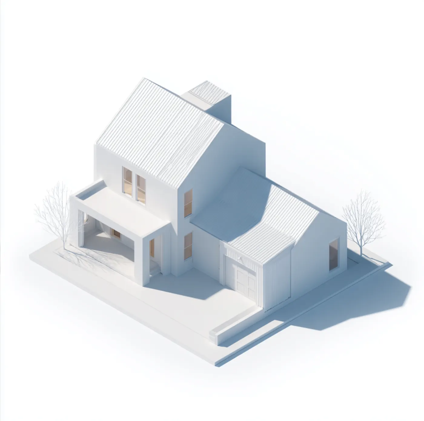
Our AR files are not a separate art project. They come straight from the same Revit model that produces your plans, elevations, and construction documents. When the design changes, the model changes, and a fresh AR file can be exported from the current version so the walkthrough never drifts away from the drawings.
The export is a USDZ file, the format iPhone and iPad open natively. You tap the file, point the camera at the ground, and the model drops into place. Pinch to scale it down to a tabletop version for a meeting, or leave it at full size and walk the site with it. There is no app to buy and no headset to strap on.
- Native USDZ files that open directly on iPhone and iPad
- Full-scale placement on the actual site or tabletop scale for meetings
- Web browser viewing for partners who are not on an iPhone
- Exports generated from the current Revit model so visuals match the plans
Whole Property Scenes, Not Just Single Buildings
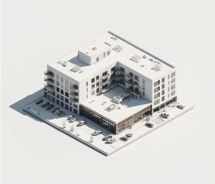
Most people think of AR as a way to preview one object. We use it for entire scenes. A property development with several buildings, parking, drives, and open space can be exported as one scene, so an investor standing at the entrance of a raw tract can look across it and see where each structure lands and how the site flows.
That is especially useful for multifamily projects, small commercial centers, church campuses, and mixed residential developments, where the relationship between buildings matters as much as the buildings themselves. People understand spacing, sightlines, and scale in seconds when they can see it on the land instead of on a site plan.
Who Gets the Most Out of an AR Walkthrough
Homeowners use AR to feel room sizes and ceiling heights before approving a layout. Developers use it to show investors and lenders a project that does not exist yet in a way that feels tangible. Churches, schools, and nonprofits use it to help committees and congregations agree on an addition. Business owners use it to test how a storefront or office will read from the street and the parking lot.
Transparency equals trust. When everyone who has to say yes can walk the same building on their own phone, fewer people are surprised later, and alignment happens faster than it does around a stack of printed sheets.
Honest Limits of AR on a Job Site
AR placement relies on the phone's camera and motion sensors, so it is a visual planning tool, not a survey instrument. It is excellent for judging scale, massing, views, and room feel. It is not a substitute for a boundary survey, staked corners, or the dimensioned construction documents that builders price and build from.
Materials and finishes shown in AR represent design intent. Final products are selected and priced after the plans are done, by your own builder on a design-only project or by ONYRverse when we hold the build contract. An AR walkthrough is never a price. Our job is to make the design clear enough that everyone around the table is deciding on the same thing.
How AR Walkthroughs Works at ONYRverse
- 01
Define the Walkthrough Goal
We confirm who will view the AR model and what they need to decide, whether that is room feel, site placement, investor buy-in, or committee approval, so the export focuses on what matters.
- 02
Model in Revit
We build or refine the Revit model with real dimensions, openings, and key finishes, and add site elements such as drives, parking, and neighboring structures when a whole scene is needed.
- 03
Export and Test the AR File
We convert the model to USDZ, test placement and scale on an iPhone, and prepare the browser-viewable version so every stakeholder can open it.
- 04
Walk It, Mark It, Update It
You walk the design on site or in the office and send comments. We revise the model and re-export, so each AR version matches the current drawings.
AR Walkthroughs FAQs
Do I need a headset or a special app to view an AR walkthrough?
No. Our walkthroughs are delivered as USDZ files, which iPhone and iPad open natively. You tap the file, point your camera at the ground, and place the model. For people who are not on an iPhone, we also provide a version that opens in a web browser, so lenders, partners, and family members can view it without buying anything.
Can I stand on my empty lot and see the building at full size?
Yes. That is one of the most useful ways to use it. You place the model on the lot at full scale and walk around and through it, checking how it sits relative to trees, drives, and neighbors. Keep in mind AR placement is visual and approximate. Exact building location still comes from the survey and the dimensioned site plan.
Can a whole subdivision or multi-building development be shown in AR?
Yes. We export whole scenes, not just single buildings. A property development with several structures, parking, and drives can be placed as one scene so investors, lenders, or a city audience can see how the site works together. Large scenes can also be scaled down to tabletop size for presentations in a conference room or at a meeting.
Will the AR model change if my design changes?
It should, and that is the point of building it from Revit. The AR file is exported from the same model that produces your plans. When the design is revised, we update the model and generate a new export at the milestones we agree on, so nobody is walking through an old version while the drawings have moved on.
Is an AR walkthrough worth it for a small residential project?
Often, yes. Small projects have small margins, and a single late change to a wall, window, or ceiling height can take a real bite out of the budget. Walking a tiny home, barndominium, or addition at full scale before approving the layout is an inexpensive way to catch those changes while they only require editing a model.
AR Walkthroughs Across Southeast Texas
- Beaumont, TX
- Port Arthur, TX
- Nederland, TX
- Groves, TX
- Port Neches, TX
- Orange, TX
- Vidor, TX
- Bridge City, TX
- Lumberton, TX
- Silsbee, TX
- Sour Lake, TX
- Winnie, TX
- Mauriceville, TX
- Kountze, TX
- Bevil Oaks, TX
- Fannett, TX
- China, TX
- Evadale, TX
- Nome, TX
- Pinehurst, TX
- West Orange, TX
- Buna, TX
- Deweyville, TX
- Ames, TX
- Hardin, TX
- Anahuac, TX
- Liberty, TX
- Kirbyville, TX
- Dayton, TX
- Woodville, TX
- Newton, TX
- Jasper, TX
- Rose City, TX
- Pine Forest, TX
- Central Gardens, TX
- Pinewood Estates, TX
- Taylor Landing, TX
- Hamshire, TX
- Little Cypress, TX
- Forest Heights, TX
- Stowell, TX
- Devers, TX
- Daisetta, TX
- Hull, TX
- Wildwood, TX
- Warren, TX
- Kenefick, TX
- Oak Island, TX
- Old River-Winfree, TX
- Ivanhoe, TX
- Cove, TX
- Mont Belvieu, TX
- Big Thicket Lake Estates, TX
- Bolivar Peninsula, TX
- Beach City, TX
- Starks, LA
- Vinton, LA
- Hackberry, LA
- Carlyss, LA
- Sulphur, LA
- DeQuincy, LA
Related services
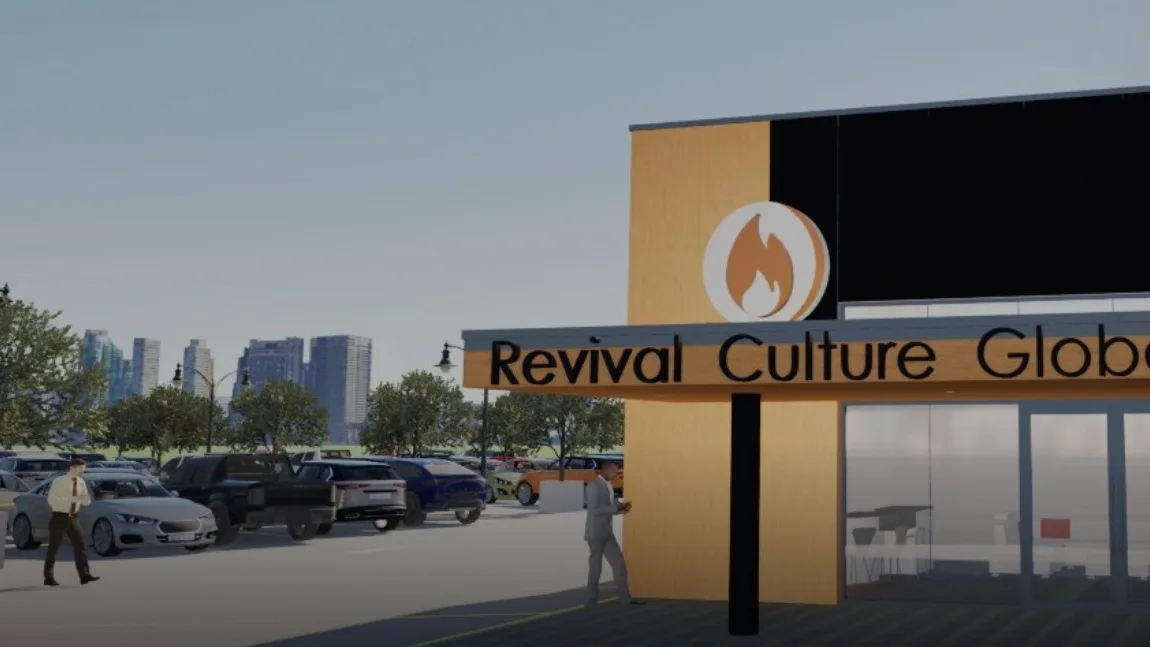
3D Modeling
Advanced 3D modeling and architectural visualization in Beaumont, TX that lets owners, lenders, and builders see and approve a project before construction begins.
Learn more →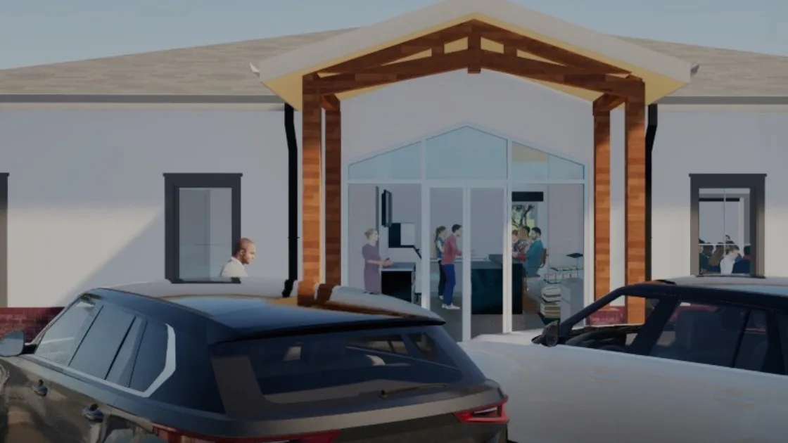
Cinematic Renderings
Advanced visual productions from Beaumont, TX: Revit designs exported to Twinmotion for cinematic video walkthroughs, flyovers, and photoreal still images that help projects get funded, approved, and understood.
Learn more →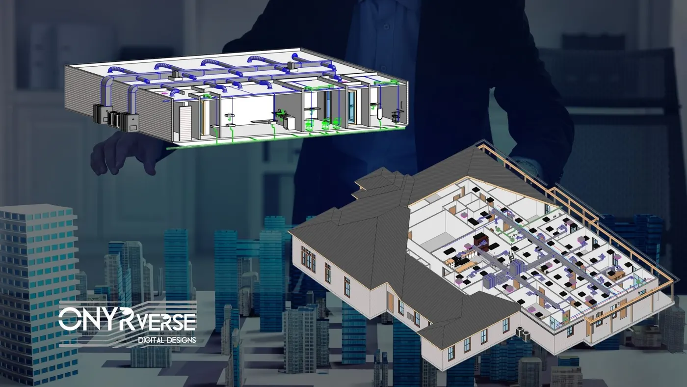
Revit BIM
Revit BIM modeling and BIM management in Beaumont, TX that keeps architecture, structure, and MEP in one coordinated model so every stakeholder works from the same source of truth.
Learn more →
Walk Through Your Project Before It Is Built
Send us your plans, sketches, or concept and we will scope an iPhone AR walkthrough of your building or your whole property, so every decision maker can stand inside the design before construction starts.
Ready to move your project forward?
Tell us about your project in the Design Brief intake form, or call to talk it through. If you're going to do it, do it with ONYR.