

Galveston County, Texas
Coastal Home Plans for the Bolivar Peninsula in Galveston County
If you're going to do it, do it with ONYR.
The Bolivar Peninsula is a narrow strip of sand between East Galveston Bay and the Gulf of Mexico, running from the ferry landing at Port Bolivar through Crystal Beach and Gilchrist toward High Island. State Highway 87 is the spine, and the free TxDOT ferry links Port Bolivar to Galveston Island. Every community on the peninsula is unincorporated, and the Census counts the area as a single census-designated place with about 2,800 year-round residents, a number that swells on summer weekends when the beach houses fill up.
Building here is building on the open coast. Hurricane Ike in September 2008 destroyed or badly damaged most structures between Crystal Beach and High Island, and nearly everything standing today was built or rebuilt with that storm in mind. ONYRverse Digital Designs is a Beaumont studio about 49 miles away, reachable by way of High Island. We handle design and documentation from the studio and online, and schedule peninsula trips for site measurements, photographs, and drone capture of the lot, the dunes, and the neighboring houses.
Gulf Side or Bay Side: Two Different Lots on One Peninsula
A Gulf-front lot in Crystal Beach and a bay-side lot off a canal in Port Bolivar can be a few hundred yards apart and still need very different designs. Near the beach, the dune system is protected, and work close to it needs a beachfront construction certificate and dune protection permit before anything starts. Where the dunes sit, how far back the house must be placed, and how the walkover reaches the sand are all decided early.
Flood mapping also changes from one side to the other. Much of the Gulf side falls in coastal high hazard areas, the V zones on FEMA maps, where wave action is expected and the rules for foundations and enclosed space below the house are strict. Bay-side lots may map differently. We confirm the zone and required elevation for your exact lot, and a licensed engineer designs the pile foundation to suit it.
Designing Beach Houses That Answer the Lessons of Ike
The houses that fared best in 2008 were high, well-connected, and open underneath. That is the design logic we follow today. Living space goes above the required flood elevation on deep piles; the ground level stays open for parking, with any enclosed storage built to break away under wave loads as FEMA rules require in V zones; and the load path from roof to piling is continuous and fully detailed.
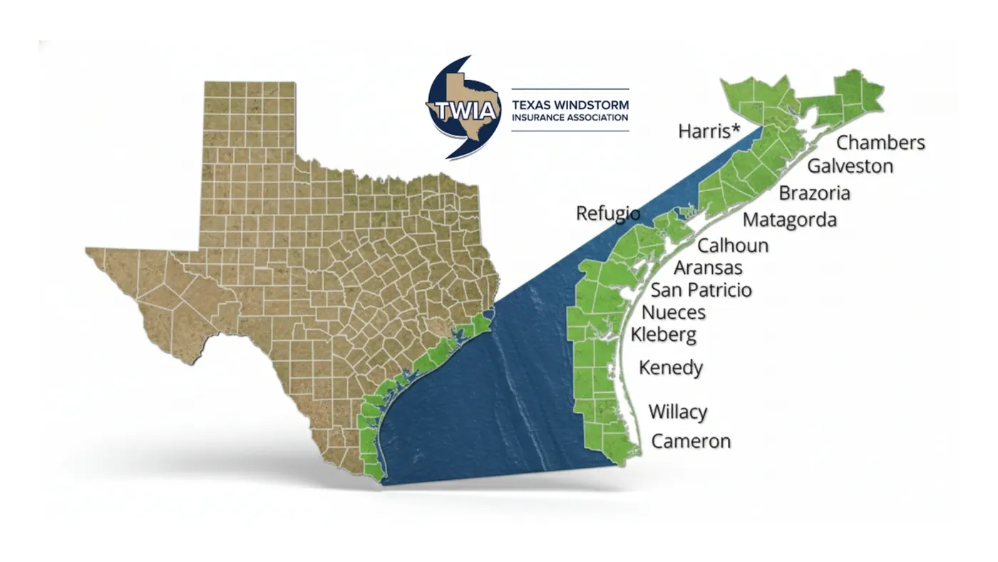
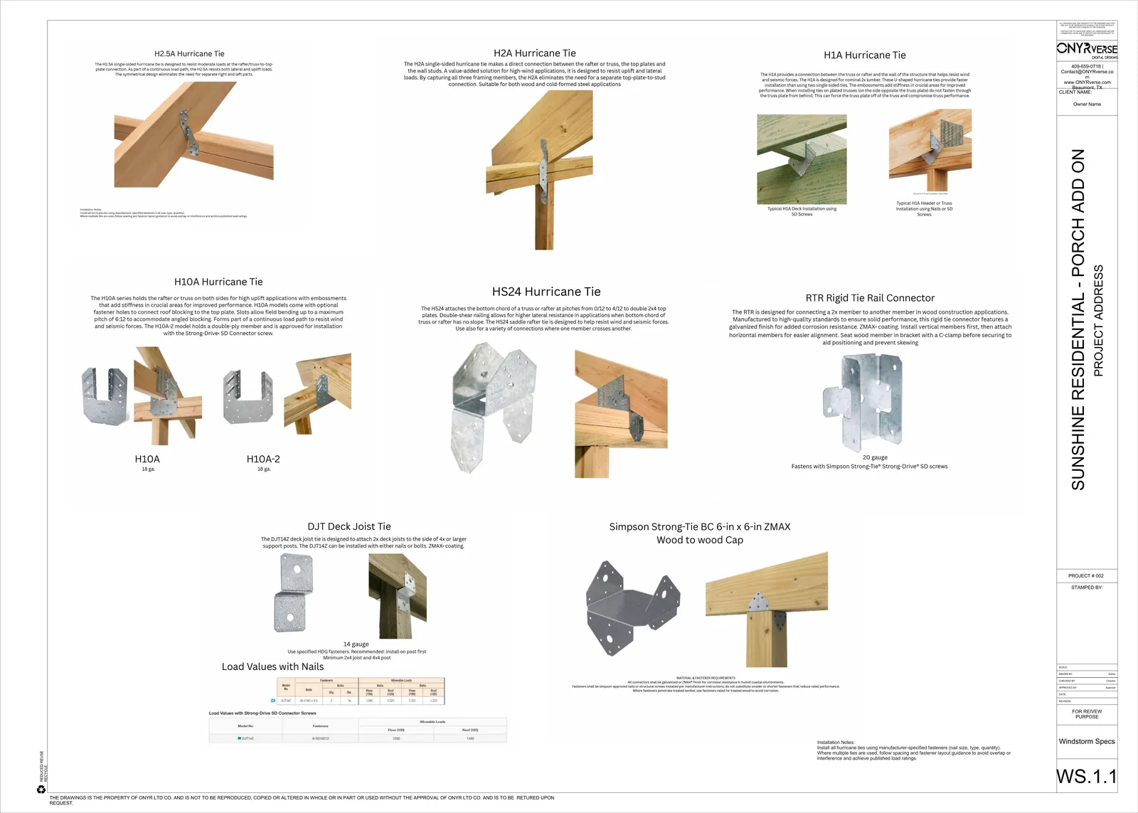
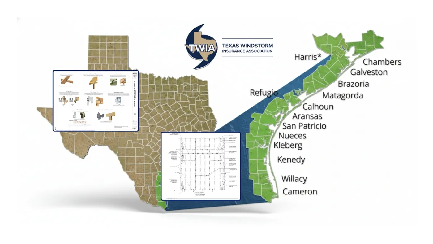
Galveston County is in the TWIA designated catastrophe area, and on the peninsula nearly every owner needs TWIA coverage. We prepare windstorm-ready documents with connector schedules, sheathing and fastening details, and impact-rated opening protection keyed to the design wind speed set by the adopted code for the site. WPI-8 certification comes through a TDI-appointed qualified inspector or licensed Texas professional engineer who inspects the work in progress. We coordinate with that professional from day one; we never issue the certificate.
Rental Layouts, Big Decks, and Views Worth Planning For
Many peninsula homes do double duty as a family getaway and a vacation rental. That changes the floor plan: more bedrooms with their own baths, a large open living and kitchen area, outdoor showers, generous covered decks on the Gulf side, and storage that guests cannot get into. We work these out in a 3D model so you can walk through the house, check sight lines to the water, and test deck sizes before the drawings are finalized.
Because there is no city on the peninsula, plans go to Galveston County rather than a town hall, along with the beachfront and dune review where it applies. We assemble the set, including site plan, floor plans, elevations, sections, and structural and wind details from the coordinated engineer, and track review comments through to approval.
- Elevated Gulf-front and second-row beach houses
- Bay and canal homes with boat access
- Vacation rental floor plans with multiple suites
- Remodels and additions on post-2008 homes
- Drone capture of lots, dunes, and neighboring structures
Services for Bolivar Peninsula Projects
Windstorm Design in Bolivar Peninsula, TX
Windstorm-ready design documentation in Beaumont, TX, with a continuous load path, connector details, and coordination with a licensed engineer for TDI WPI-8 certification.
Learn more →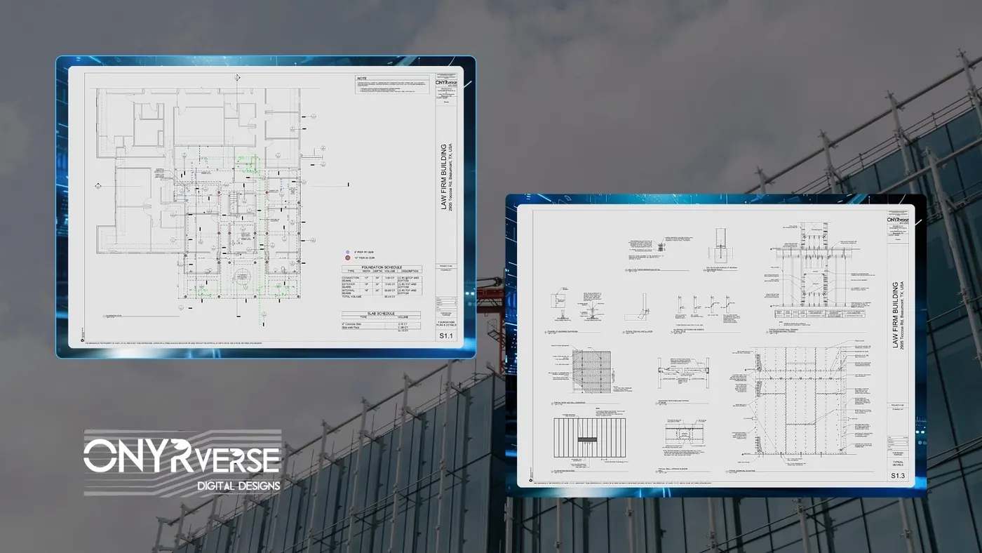
Structural Coordination in Bolivar Peninsula, TX
ONYRverse coordinates your licensed Texas structural engineer with your architectural plans so structure and design intent stay aligned from concept to permit.
Learn more →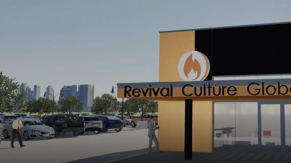
3D Modeling in Bolivar Peninsula, TX
Advanced 3D modeling and architectural visualization in Beaumont, TX that lets owners, lenders, and builders see and approve a project before construction begins.
Learn more →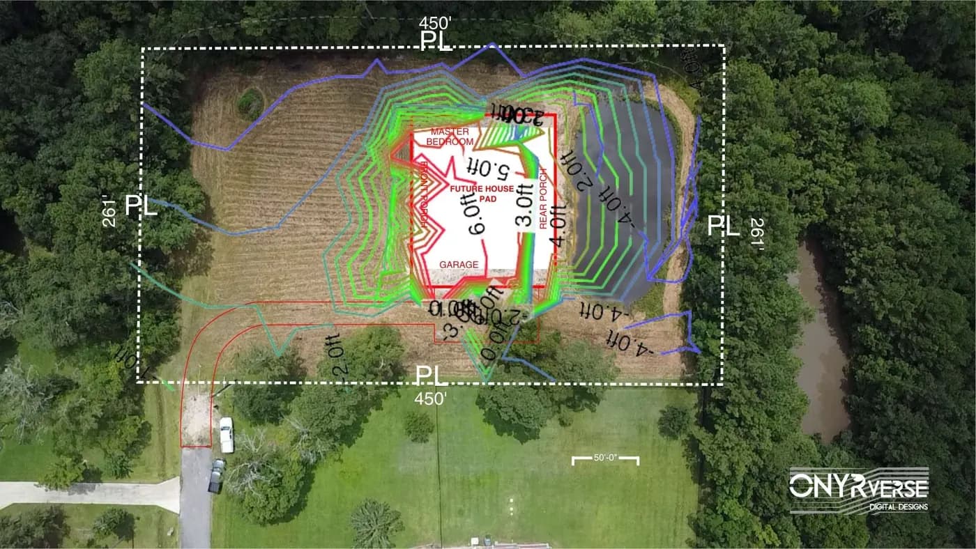
Drone Mapping in Bolivar Peninsula, TX
ONYRverse captures drone aerial imagery and site data for planning, design, and construction progress monitoring, and ties it directly into your project documentation.
Learn more →
Bolivar Peninsula Project FAQs
Who issues permits for a new house in Crystal Beach or Gilchrist?
Galveston County, because the whole peninsula is unincorporated. County engineering handles floodplain development permits, and lots near the Gulf beach also need a beachfront construction certificate and dune protection permit under the county's dune plan. We confirm the full list for your lot and prepare drawings for each review.
What is a V zone, and does it change my beach house design?
A V zone is a coastal high hazard area on FEMA flood maps where storm waves are expected. It changes a lot: the house sits on piles above the required elevation, the area below stays largely open, and any enclosure must be designed to break away. A licensed engineer designs the foundation, and we build the rest of the plans around it.
Can I build close to the dunes on a Gulf-front lot?
Only within limits. Building in the protected dune area is restricted, and the county sets lines landward of the dunes that construction must respect. We locate the dunes and vegetation on a drone capture and survey, then place the house, driveway, and dune walkover where they can be approved before we develop the design.
Will ONYRverse get my Bolivar house its WPI-8 certificate?
No, and nobody who draws plans should claim to. The WPI-8 follows inspections during construction by a TDI-appointed qualified inspector or a licensed Texas professional engineer. We prepare windstorm-ready drawings and coordinate with that professional so the inspections go smoothly and the house qualifies for TWIA coverage.
Can you design a beach house that works well as a vacation rental?
Yes. We plan bedrooms, baths, living space, decks, and owner storage around how the house will actually be used, and show it all in a 3D model before drawings are finalized. We do not provide rental income projections, and we never quote a build number before design. Once the set is done, your builder can price it accurately, or ONYRverse can price the build itself on a cost plus basis.
How do you work on the peninsula from a Beaumont studio?
Design, coordination, and reviews happen in our studio and online. We schedule trips down Highway 87 for the first site visit, drone flights, and measurements, and return when it matters, such as a pre-inspection walk of the framing and connectors. We do not have an office on the peninsula and say so from the start.
Nearby service areas
Planning a project in Bolivar Peninsula?
Send us the basics and we will come back with next steps. Surveys, sketches and photos of the site all help.
Ready to move your project forward?
Tell us about your project in the Design Brief intake form, or call to talk it through. If you're going to do it, do it with ONYR.