
Liberty County, Texas
Building Plans for Daisetta, Texas, Above the Hull Salt Dome
If you're going to do it, do it with ONYR.
Daisetta owes its existence to oil. The Hull oilfield came in during 1918, and a boomtown grew on top of the salt dome that trapped it. A local storekeeper, Newt Farris, is credited with the name, blending Daisy Barrett and Etta White. At its peak the town was estimated at around 3,000 people; as production declined, so did the population, and today it is a small incorporated city of roughly a thousand residents at the southern junction of Farm Roads 770 and 834 in eastern Liberty County. Hull sits about two miles to the north.
The salt dome is not just history here. In May 2008 a sinkhole opened on the edge of town and grew to hundreds of feet across, and it has shown renewed activity since. That makes Daisetta one of the few places in Southeast Texas where site research truly comes before the sketch. ONYRverse Digital Designs is a Beaumont studio about 31 miles away. We design and coordinate from the studio, and we plan scheduled trips to Daisetta for site visits and drone capture.
Know What Lies Beneath: Planning in a Salt Dome Town
Most residential lots in Southeast Texas raise questions about flood elevation and soil. A Daisetta lot raises one more: how close is it to the sinkhole and to old oilfield activity on the dome? We are not geotechnical engineers and we do not make that call. What we do is make sure the question gets asked and answered before design money is spent.
Our feasibility work for Daisetta gathers what is available about the parcel: its location relative to the known sinkhole area, old wells or pipelines on record, the flood map, and any recorded easements. Where the ground warrants it, we coordinate a licensed geotechnical engineer to investigate the soil and recommend a foundation approach. Their findings then drive the structural engineer's foundation design, and our drawings carry that design through.
Working With Older Oilfield-Era Houses
Many Daisetta homes date from the decades when the field was busy: modest wood-frame houses on pier and beam, often added onto over the years. Renovating one well starts with accurate as-built drawings. We measure and model the existing house, note where earlier additions changed the structure, and coordinate a licensed structural engineer when floors sag, piers have shifted, or walls are coming out.
From that base we can plan a new kitchen, a bathroom addition, a raised floor, or a full rebuild. The drawings show your builder exactly what stays and what changes, which is the best defense against surprises once walls are opened.
Lots in the older part of town are often narrow, with houses close to the side lines and detached garages reached from the rear. Before an addition grows outward, we check setbacks, easements, and where the septic or sewer line runs, so the design does not collide with something already buried in the yard.
- As-built drawings of older pier and beam houses
- Additions and interior remodels with structural coordination
- Replacement homes on existing town lots
- Small commercial and church building updates
Aerial Records for a Changing Landscape
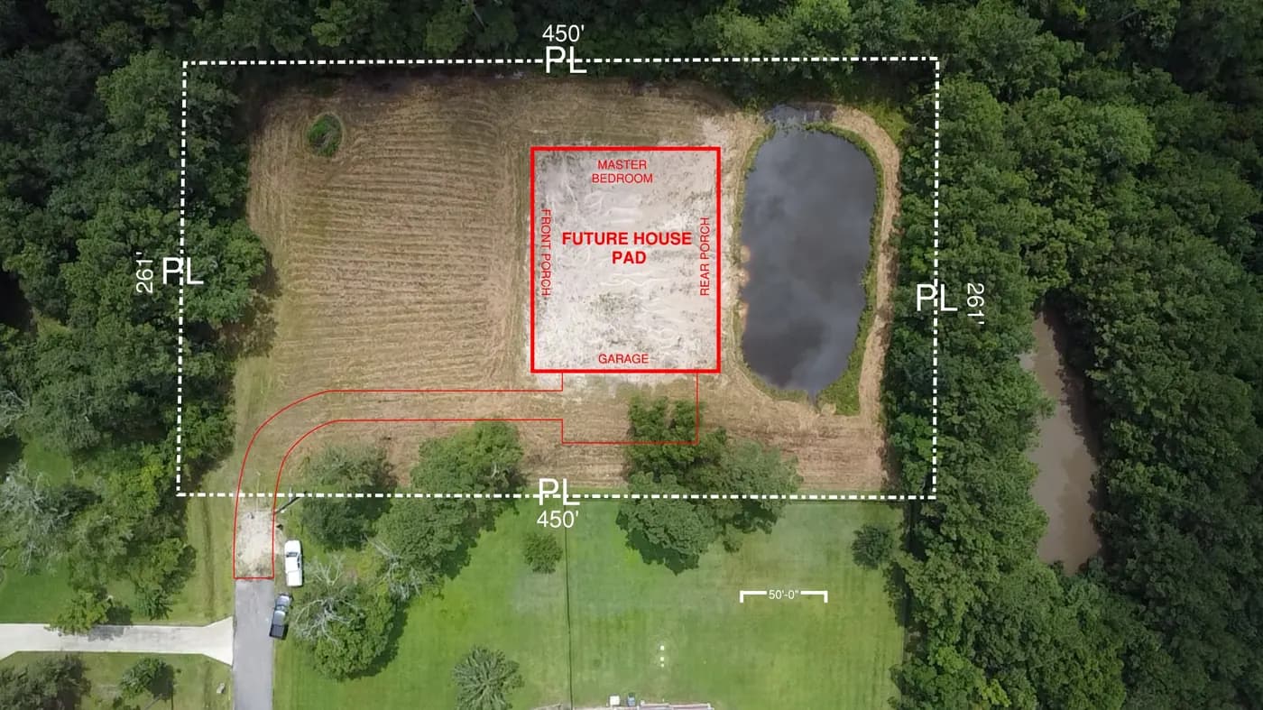
In a town where the ground itself has moved, a dated photographic record of a property has real value. Our drone mapping produces a current aerial image of the lot and its surroundings that becomes the base for the site plan. For owners who want it, repeat flights over time document conditions as a project moves forward. It is documentation, not a hazard assessment, and we are clear about that difference.
Liberty County is outside the TWIA catastrophe area, so WPI-8 certification usually is not required in Daisetta. We still draw a continuous wind load path, because storms that come ashore near Galveston or Sabine Pass keep plenty of force this far inland.
Services for Daisetta Projects

Feasibility Planning in Daisetta, TX
Feasibility and design planning in Beaumont, TX: site discovery, code and jurisdiction research, and a budget-guided concept that shows whether a project works before you pay for full design.
Learn more →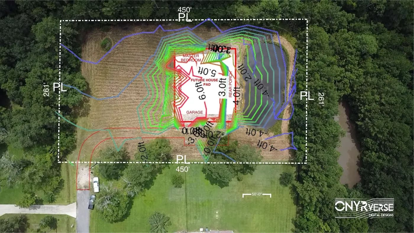
Drone Mapping in Daisetta, TX
ONYRverse captures drone aerial imagery and site data for planning, design, and construction progress monitoring, and ties it directly into your project documentation.
Learn more →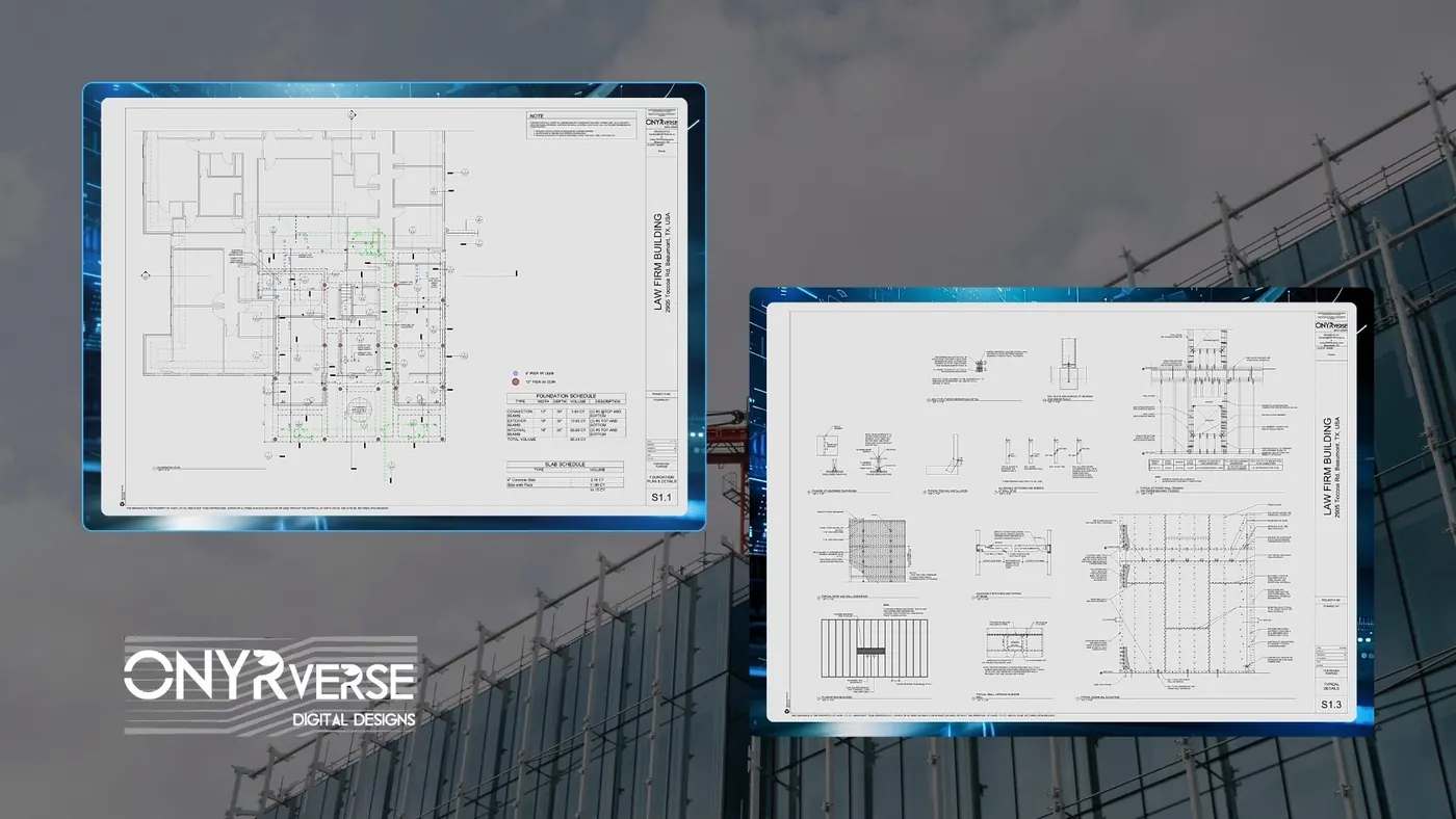
Structural Coordination in Daisetta, TX
ONYRverse coordinates your licensed Texas structural engineer with your architectural plans so structure and design intent stay aligned from concept to permit.
Learn more →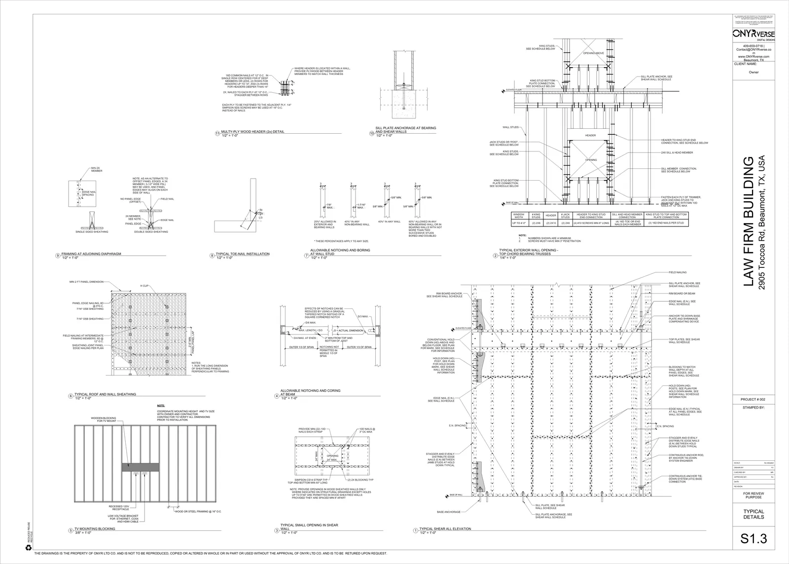
Drafting & CDs in Daisetta, TX
Architectural and civil drafting services in Beaumont, TX, including permit sets, construction documents, site plans, and as-built drawings built for permitting, bidding, and construction.
Learn more →
Daisetta Project FAQs
Is it safe to build a house near the Daisetta sinkhole?
That is a question for a licensed geotechnical engineer, not a design studio, and we will not guess. What we do is flag parcels where the salt dome and sinkhole history deserve a closer look, coordinate the geotechnical investigation, and make sure the foundation design that results is carried accurately through the construction drawings.
Does a Daisetta project go to city hall or to Liberty County?
Daisetta is an incorporated city, so property inside city limits goes through the city. Parcels outside the limits fall under Liberty County, which requires a permit before any land is developed and enforces its flood prevention ordinance. We confirm which applies to your address during feasibility and prepare the set for that office.
Can you draw plans for remodeling an old pier and beam house in Daisetta?
Yes. We measure the house, produce as-built drawings, and document any earlier additions. If floors are uneven or walls are being removed, we coordinate a licensed structural engineer to evaluate the framing and piers. The remodel plans then show clearly what is new, what is repaired, and what stays in place.
What does drone mapping add to a Daisetta project?
A current, dated aerial image of your lot and the land around it. We use it as the base for the site plan, to check setbacks, drainage, and access, and some owners keep repeat flights as a visual record over the life of a project. It supports design decisions but is not a geologic or hazard study.
How far is Daisetta from your studio?
Our studio is at 268 Pearl Street in Beaumont, about 31 miles from Daisetta. Design, drafting, and engineer coordination happen there, with you reviewing drawings and models online. We schedule trips to Daisetta for measurements, site walks, and drone flights. We do not have a local office in Liberty County.
Nearby service areas
Planning a project in Daisetta?
Send us the basics and we will come back with next steps. Surveys, sketches and photos of the site all help.
Ready to move your project forward?
Tell us about your project in the Design Brief intake form, or call to talk it through. If you're going to do it, do it with ONYR.