
Hardin County, Texas
Site-Informed Building Plans for Sour Lake, TX
If you're going to do it, do it with ONYR.
Sour Lake has one of the most storied pasts in Southeast Texas. Long before oil, its mineral springs drew visitors to a health resort. Then in 1902, the Texas Company, the business that later became Texaco, was founded at Sour Lake, and its early gusher there helped launch a global oil company. Drive through the western edge of Hardin County today and you will still see traces of that oilfield history alongside rice fields, pastures, and new homes on acreage.
That history is more than trivia for anyone building here. Old well sites, pipelines, and uneven ground can sit beneath rural parcels, and the land itself often decides where a house or shop belongs. ONYRverse Digital Designs pairs drone aerial mapping with architectural design so Sour Lake clients can understand their site before committing to a layout, then receive plans that are ready for permitting, financing, and bidding.
Start With the Ground: Aerial Mapping for Rural Parcels
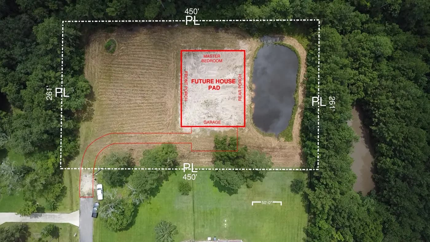
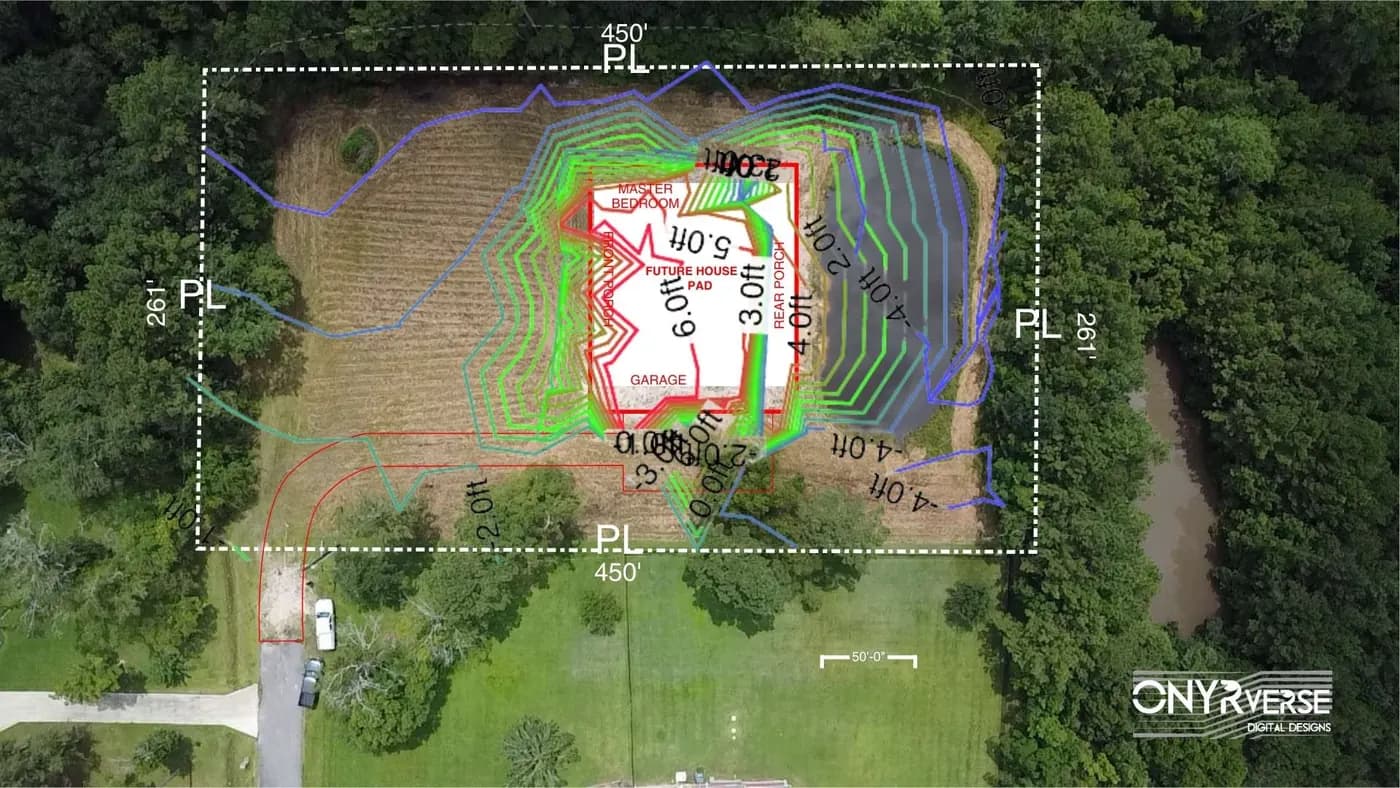
On a large Sour Lake tract, the best spot for a house is not always obvious from the road. A drone flyover produces current overhead imagery and mapping that reveal clearings, low areas, drainage paths, access points, and surface features such as old pads or pipeline markers. We use that data to test placements for the home, shop, driveway, and septic area before the design is locked.
Aerial mapping is a planning tool. It does not replace a licensed boundary survey, pipeline locate, or environmental review when those are required, but it gives the whole team the same accurate picture of the land.
Homes and Shop Houses for Country Living
Many Sour Lake clients want room to spread out: a single-story home with a wide porch, a shop house that combines living quarters and a work bay, or a barndominium with space for trailers and equipment. We design these with you in 3D, working out how the shop connects to the house, how fire and sound separation is handled, and how the building sits on the land.
Construction documents follow, with structural input from a licensed engineer coordinated for metal frames and slabs as required.
Designing for Sour Lake's flat, clay-heavy ground also means paying attention to drainage and foundation type. We show pad elevation and drainage direction on the site plan and coordinate a licensed engineer for slab or pier design suited to the soils found on your tract.
Clay soil is also why site work gets planned early. On a design-build job, TRP Land Clearing & Excavation prepares the pad to the elevation shown on the site plan, so the drawings and the dirt agree before the foundation crew arrives.
Keeping Larger Projects on Track
Commercial and light industrial projects around Sour Lake often involve owners, lenders, and multiple consultants. ONYRverse manages the design and documentation side: defining scope, controlling decision points, maintaining a log of assumptions and exclusions, and coordinating licensed engineers. Owners can bid the finished set to a builder of their choice or keep the project with ONYRverse through construction, where build pricing comes only after the plans are complete and aligned.
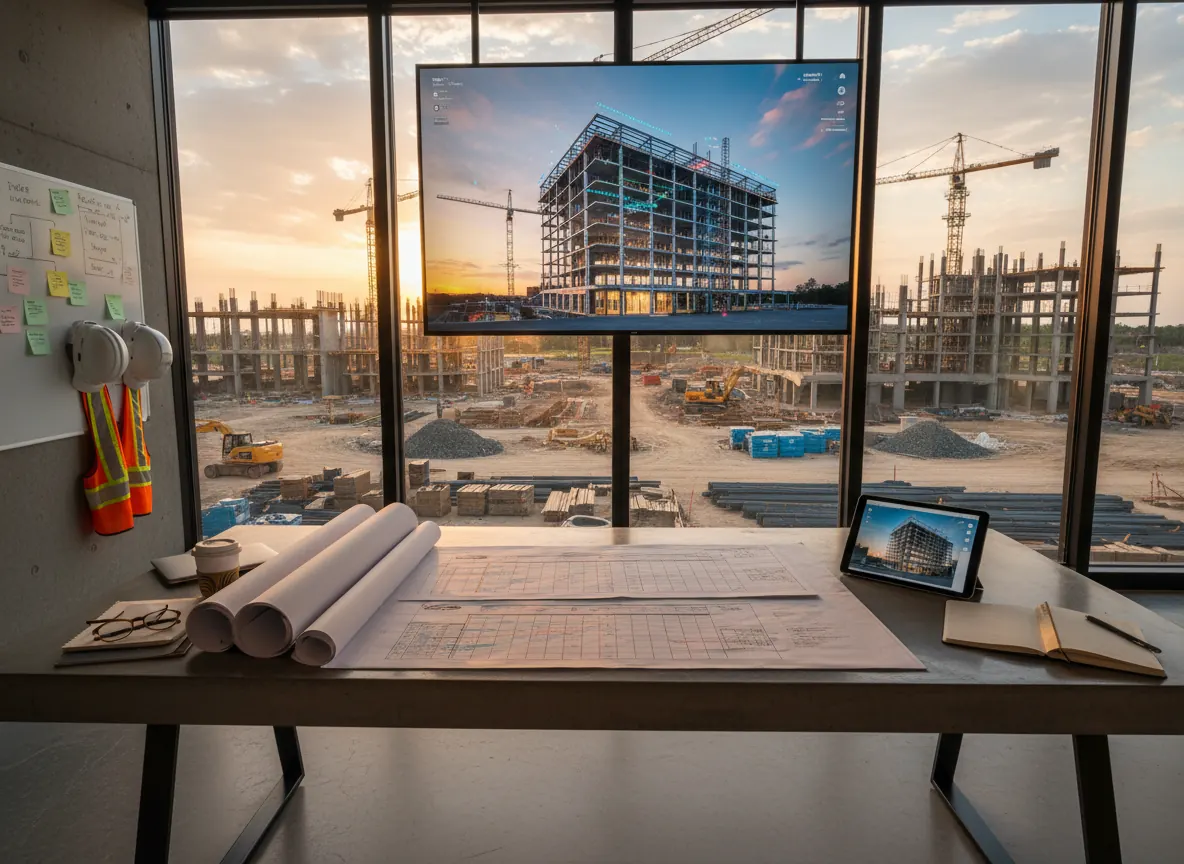
Once construction begins, repeat drone flights can document progress, giving remote owners and lenders a visual timeline of the work.
On projects ONYRverse builds, those same flights give Site Construction Manager Evan Simon and the owner a shared view of the site between walk-throughs, which is useful when the owner lives hours away and still wants to see the pad, the slab, and the frame go up.
- Pre-design aerial site capture
- Scope, assumptions, and exclusions summary
- Coordinated structural and MEP input
- Progress imagery during construction
Services for Sour Lake Projects
Drone Mapping in Sour Lake, TX
ONYRverse captures drone aerial imagery and site data for planning, design, and construction progress monitoring, and ties it directly into your project documentation.
Learn more →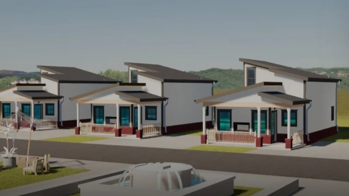
Architectural Design in Sour Lake, TX
Architectural design services in Beaumont, TX that turn residential, commercial, barndominium, tiny home, and renovation concepts into buildable plans, design only or design and build.
Learn more →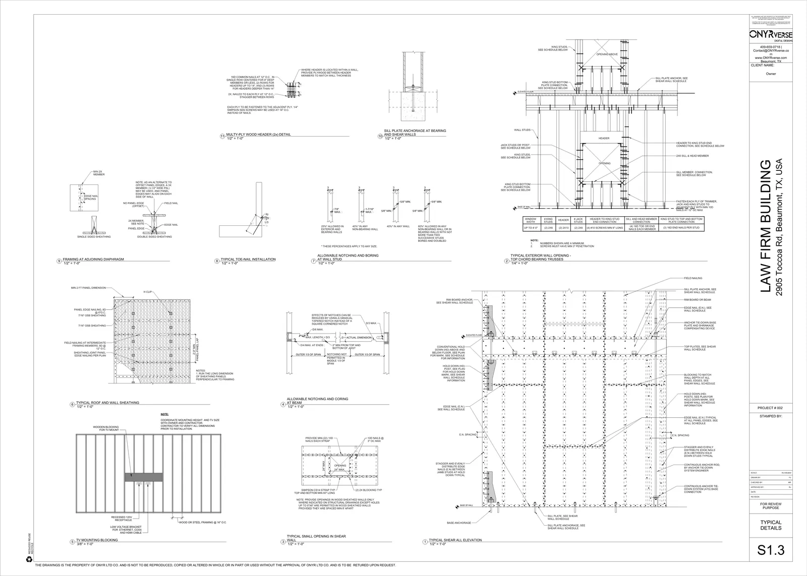
Drafting & CDs in Sour Lake, TX
Architectural and civil drafting services in Beaumont, TX, including permit sets, construction documents, site plans, and as-built drawings built for permitting, bidding, and construction.
Learn more →Project Management in Sour Lake, TX
ONYRverse manages industrial, commercial, and municipal projects from the first design decision to the finished build, with design-only or design-build delivery.
Learn more →
Sour Lake Project FAQs
Could my Sour Lake land have old oilfield features on it?
It is possible, given the area's long oil history. Old well sites, pads, or pipelines can exist on rural parcels. Drone imagery can reveal surface clues, but it is not a substitute for records research, a pipeline locate, or a licensed survey. We flag anything unusual we see and recommend the right specialist before design decisions are locked in.
Can you design a shop house for my acreage near Sour Lake?
Yes. We design shop houses that combine living space with a work bay, planning the connection between them, door sizes, ceiling heights, and separation between shop and home. We show the design in 3D, then prepare construction documents. A licensed structural engineer is coordinated for the frame and slab when required.
How does drone mapping help before design begins in Sour Lake?
It gives us an up-to-date overhead view of the whole property, which is especially useful on wooded or large tracts. We can see where water collects, where clearings already exist, and how access roads connect. That helps place the house, shop, and septic system in smart locations and prevents surprises once clearing starts.
Who issues building permits for property around Sour Lake?
Parcels inside Sour Lake city limits are permitted through the city, while rural tracts outside the limits fall under Hardin County rules, including floodplain development requirements. Many Sour Lake clients own land outside town, so we confirm jurisdiction during feasibility and prepare drawings for the office that will review them.
Can repeat drone flights document construction progress for my lender?
Yes. For projects around Sour Lake where the owner or lender is not on site every day, we can schedule repeat flights to capture progress imagery. Those visuals form a timeline of the work that supports draw requests and keeps stakeholders informed. The flights work the same whether your own builder is on the job or ONYRverse holds the build contract.
Nearby service areas
Planning a project in Sour Lake?
Send us the basics and we will come back with next steps. Surveys, sketches and photos of the site all help.
Ready to move your project forward?
Tell us about your project in the Design Brief intake form, or call to talk it through. If you're going to do it, do it with ONYR.